When most people go to Iceland, they are likely to fly in and out of Keflavik airport. It is about a 45 mins drive/bus ride from the city, Reykjavík. There is a bus called Flybus that you can take from the airport to the city center, which costs 2.950 ISK (~$25) per person. I would suggest renting a car from the airport instead of taking the Flybus if you are traveling with multiple people since the costs would be about the same and you would already have the car for the next day if you are driving along the Ring Road.
Day 1: Reykjavík
We spent a day in Reykjavík and drove along the Southern Coast for the next four days. You can find my itinerary for Reykjavík here. If you do not have much time in Iceland, I would suggest skipping Reykjavík and heading straight to the Ring Road.
Day 2: Golden Circle
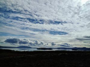
On our way to Thingvellir National Park, we saw this lake reflection that caught our attention and stopped along the road to take pictures. Although there are many points along the road to take pictures, please be mindful of where and when you stop.
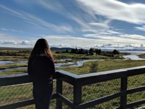
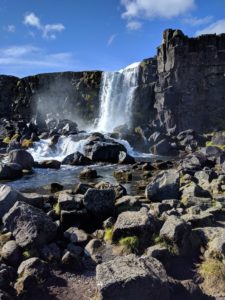
We spent about two hours at the Thingvellir National Park. Right along the entrance, you can see where the North American and Eurasian tectonic plates meet. We walked along the trail to the Öxarárfoss Waterfall. (You can also drive closer to the waterfalls and there are picnic tables along the way but it was a day nice to walk.)
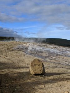
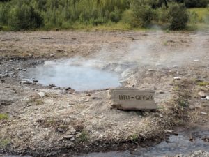
Afterwards, we went to the Haukadalur Geothermal Area. There were tiny geysirs along the way to the Strokkur Geysir. The Strokkur Geysir erupts every 8-10 minutes. There is also a geysir called Geysir but it erupts sporadically and we found a small one that is called Litli Geysir.
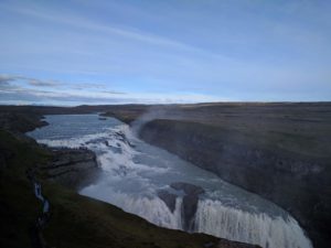
We then went to the Gullfoss Falls, which was Iceland’s most famous waterfall. There are two different paths you can take- one is to get an overview of the waterfall (like in this picture) and the other is to get a closeup of the waterfall. You can feel and see the strength of the waterfall from the water crashing down and the mists and water droplets that formed.
Day 3: Southern Coast– Chasing Waterfalls
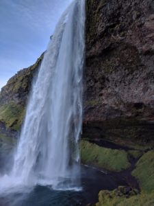
We started our day at Seljalandsfoss Waterfalls. What is unique about this waterfall is that there is a path for you to walk behind it. You have to be careful as the path can be a bit slippery from the water.
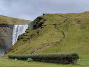
We then went to the Skógafoss Waterfalls, which was close by. As you see from the picture, there are metal stairs that most people climb up to get a top view of the waterfalls. The stairs were a bit of a climb up and did not have a designated spot to rest along the way. Once you reach the top, there is a path to take to hike. You can also get very close to the waterfalls from the grounds.
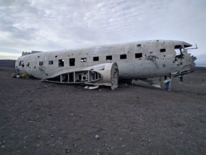
We ate at a restaurant close by for lunch before heading off to the location of the DC3 plane wreck. Since the DC3 plane wreck has become a more popular spot to visit, you cannot drive up to the plane wreck and there is a giant parking lot for people to park their vehicles instead. It took us about 2 hours roundtrip to walk there. I would pass on this location if you don’t have as much time since it was a bit of a walk to get there and there isn’t anything to look at along the way.
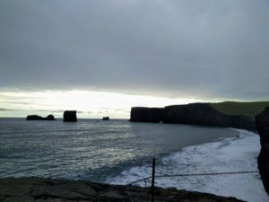
We made our way to Dyrhólaey where you would usually see a lot of puffins during the spring/summer time. We were there in September and didn’t get to see them. However, the spot is nice for pictures of the rock arch, cliffs, and the ocean.
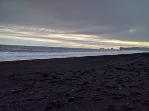
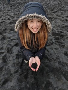
The sun was beginning to set so we decided to go to Reynisfjara (the black sand beach). It was very windy when we were there and there were also signs warning us of the strong currents. The beach is known as the black sand beach because the sand is formed from the erosion of volcanic rocks. There were also basalt columns to the sides called Reynisdrangar.
We got dinner in Ice Cave Bistro in a town called Vik. I got lamb soup for dinner. You can also stop by to get some snacks and/or souvenirs.
Day 4: Southern Coast
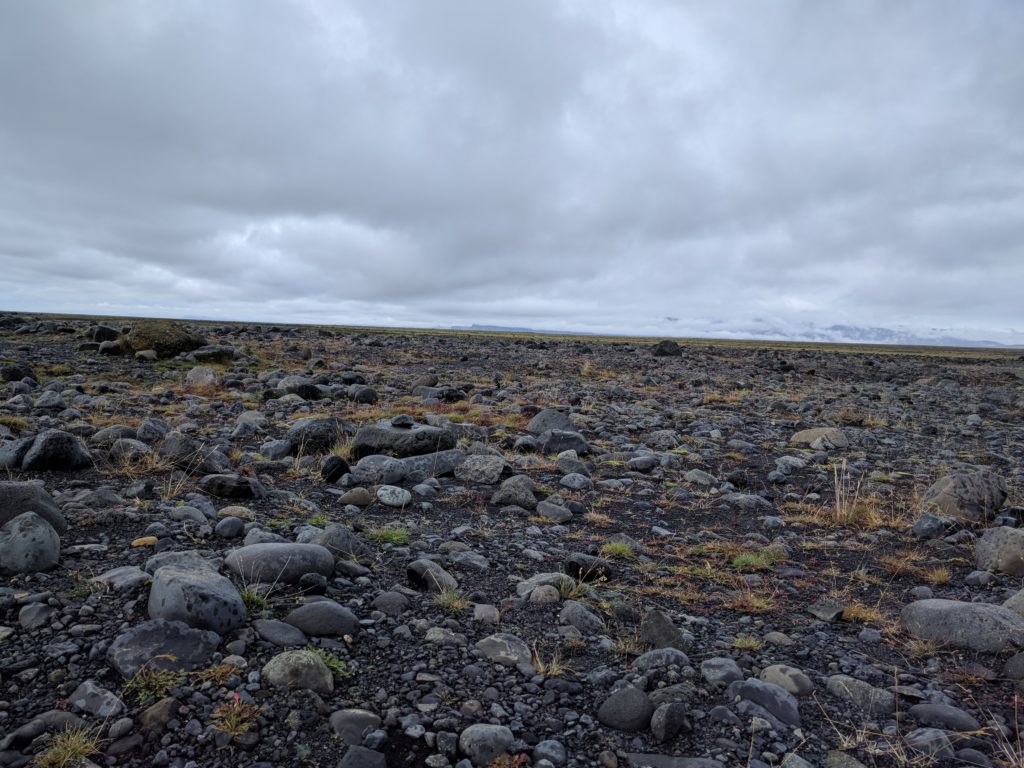
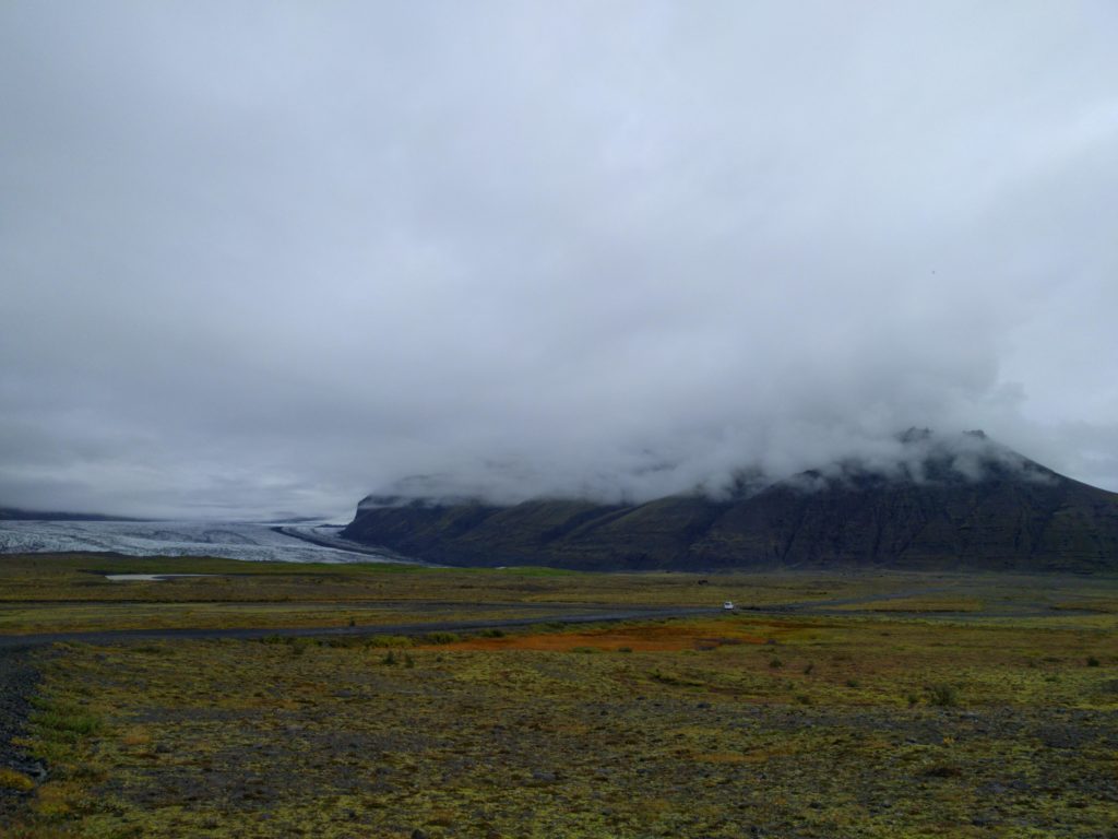
On our way to Fjallsárlón Glacier Lagoon, we noticed a difference in the types of landscapes that we passed by.
Although the Fjallsárlón Glacier Lagoon is a bit smaller, it is a great photo opportunity to take pictures with the glaciers and icebergs in the backdrop. You can also take a boat tour in the lagoon.
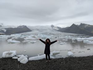
On our way to Jökulsárlón Glacier Lagoon, we had a quick stop near the bridge to get a view of the water and glaciers. We found pieces of icebergs on the black sand beach and caught seals swimming in the water! Jökulsárlón Glacier Lagoon was much bigger and we signed up for a boat tour. Although we were on the lagoon, we weren’t able to touch the iceberg since you don’t know when it would tip over. We learned about the history of the lagoon and how to identify different types of icebergs. The shades of blue from the iceberg is from the light reflecting from it and from compressed oxygen, and the black color is from ash.
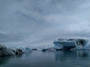
We ate fish and chips at a food truck right outside the lagoon before making our way back to Reykjavík.
We made a stop at Skaftafell National Park where we hiked to see the Svartifoss waterfall. It has the black Basalt columns surrounding the waterfall.
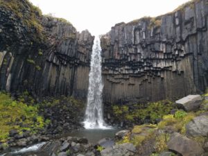
The sun was starting to set as we made our way to the hotel for the night.
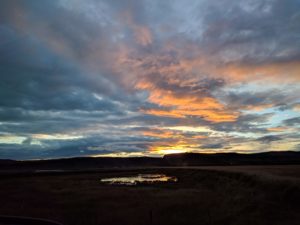
Day 5: Southern Coast/Reykjavík
Since we haven’t had a chance to experience a hot spring or a public swimming pool in Iceland, we tried to go to Hrunalaug in the morning before we left. It is a small hot spring on private property secluded by the mountains. I would suggest going early since it is small and gets crowded quickly. It is free but asks for a donation of 10 ISK/person.
On our way to the airport, we got food at the Icelandic Street Food Restaurant in Reykjavík as recommended by our tour guide. They have homemade traditional Icelandic food. You get unlimited refills of the soup and they also have snacks on the table for you to take. I would suggest trying their shellfish soup.

